Whether you need to calculate the volume of stockpiles, measure the extraction volume of a quarry or estimate the volume of a building, we have your best solution. We can now compute volumes instantly from any device using data gathered quickly and easily via aerial drone – eliminating complex and time-consuming manual measurement and GPS ‘walks’. Accurate and timely volume calculations are critical across a wide range of industries including mining, construction, processing and manufacturing.
• Survey of challenging sites such as quarries, sand pits, landfills, coal stockpiles, etc.
• Point cloud generation
• Volume calculation
• GM creation
• Creation of location and inventory plans
• Creation of topographic images
• Evidence gathering for court cases
• Documentation of construction progress
• Inner-city survey
• Aerial photographs
• Inspection tasks
Prior the development of the use of drones the specialists only has images collected by satellites or pictures taken by manned aircrafts whose implementation involved sizable costs and effort.
The great advantages of geospatial data collected by drone, compared to the satellites or manned aircrafts, are:
We can create a fully 3D real time model of almost any site and turn it into a Virtual Reality 360 experience using a VR head set.
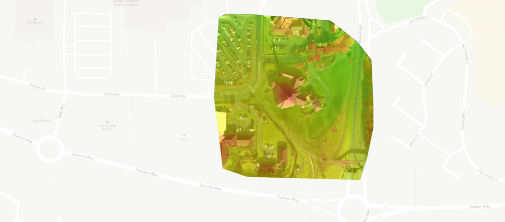
Middlesbrough Cathedral Mapping with over 500 images taken.
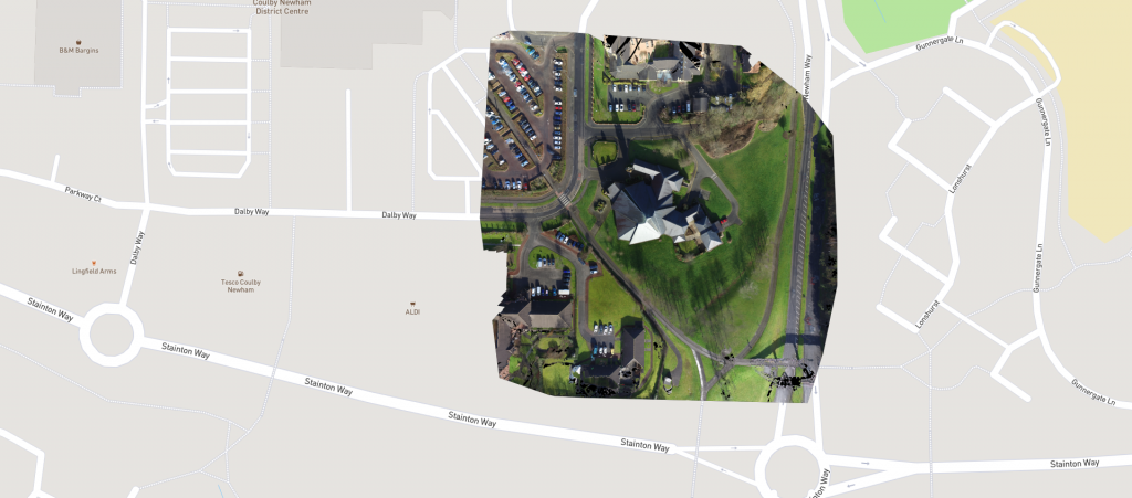
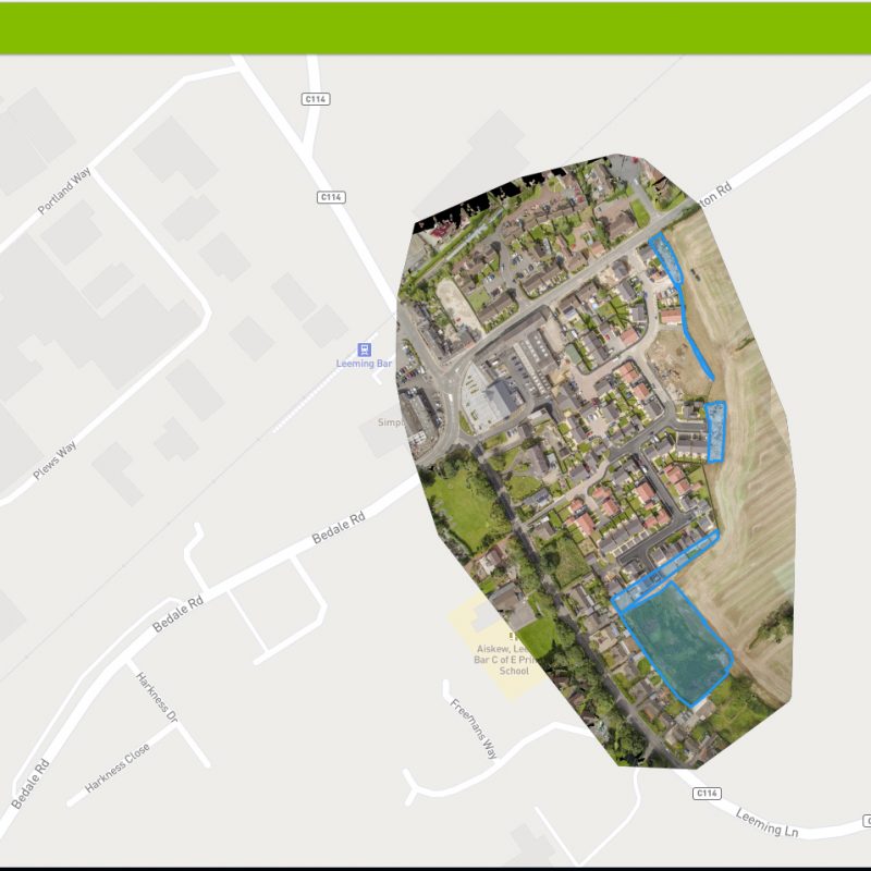
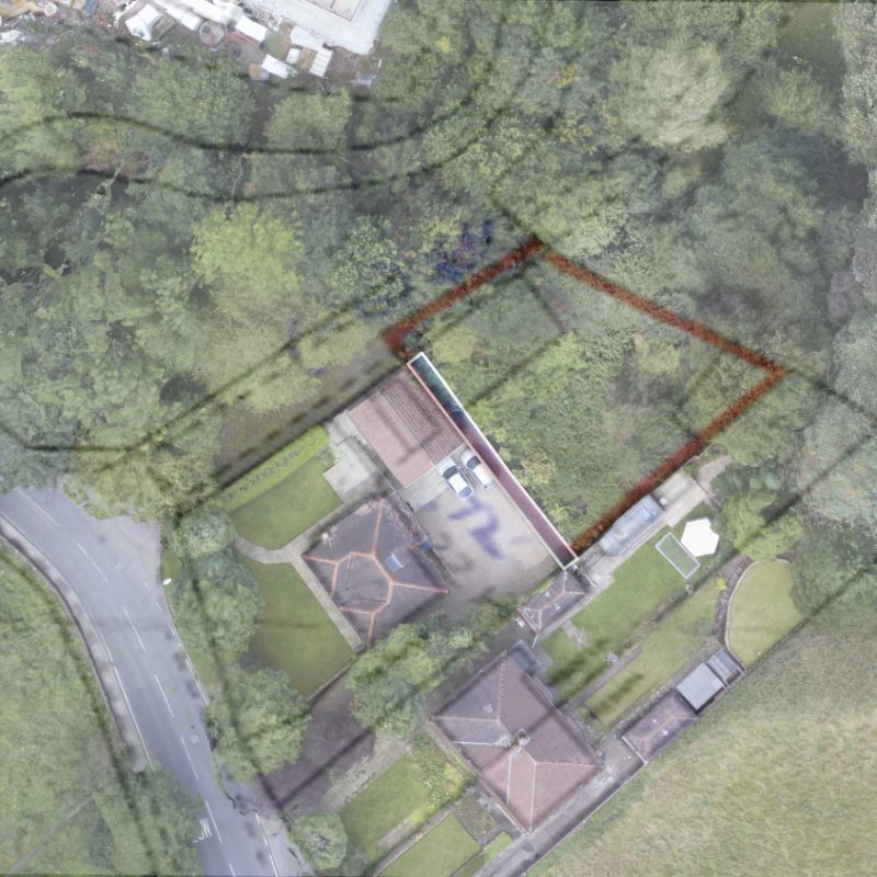
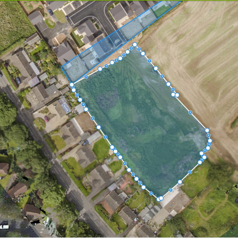
Volumemetric & Topographical Mapping Middlesbrough


Feel free to get in touch using our Contact Form or any of the details below:
ADDRESS
XCYTE MEDIA 56 Applegarth, Coulby Newham, Middlesbrough TS8 0UY, United Kingdom
MAIL US
info@xcytemedia.co.uk
CALL US
Teesside
0333 21 01642
Newcastle
0191 46 27 662
Leeds
0113 347 7266
York
01904 295 277